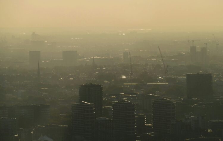
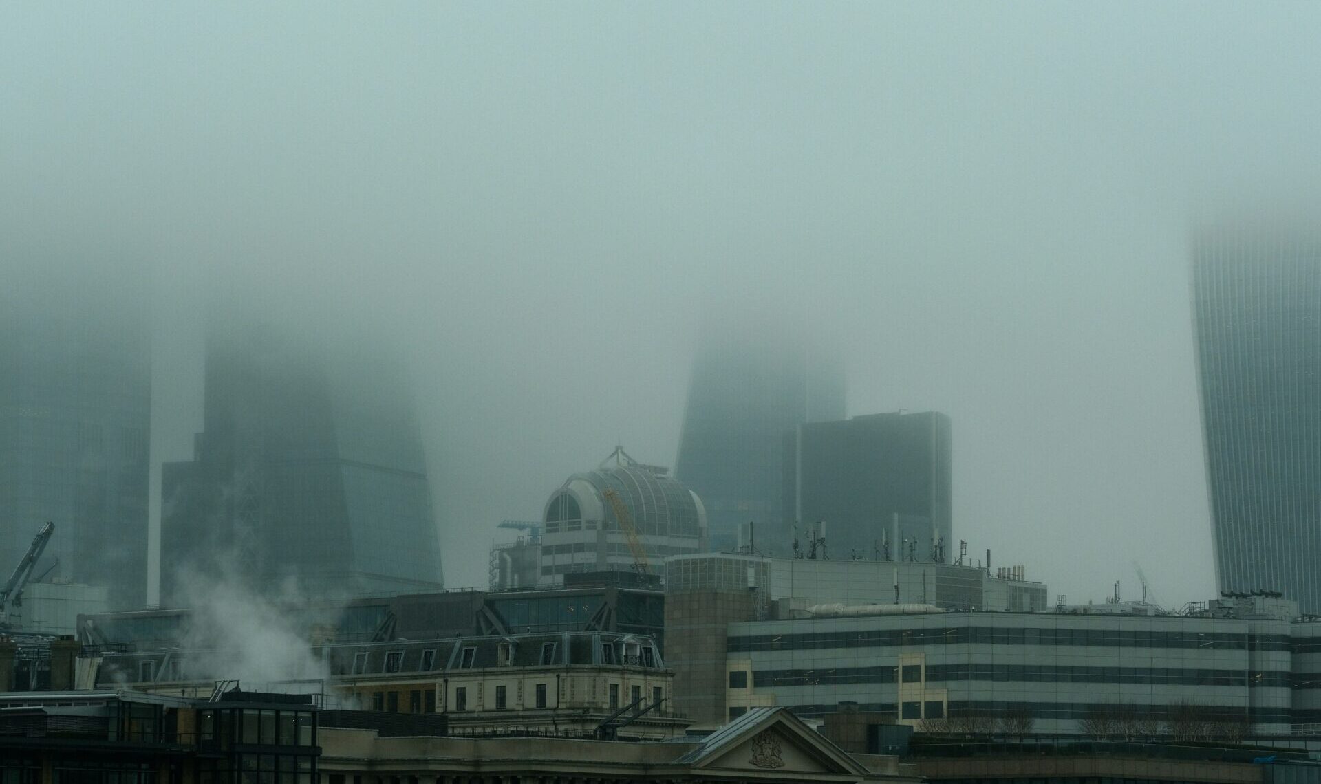
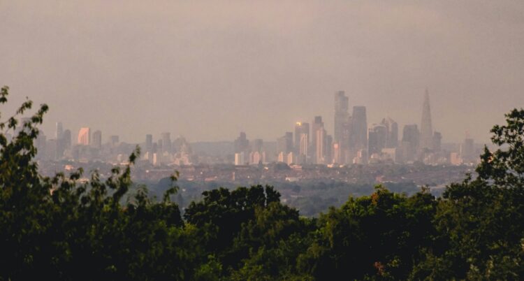
The London city skyline with tall buildings partly obscured with haze. Photo by Kevin Mueller.

Health effects of air pollution

Latest data: People in London still breathing dangerous levels of air pollution

Use our data visualisation to see air quality levels across London, including in each borough, and how air quality compares to legal limits and WHO guidelines.

Patrick Lee
Patrick Lee
Communications Manager
Kristupas Jucaitis
Data Analyst

The London Atmospheric Emissions Inventory (LAEI) has published new data showing air pollution concentrations across the capital. This new data reveals what pollution people are actually breathing in.

We’ve translated that data into a visualisation showing pollution concentrations across every London borough. At the top of the visualisation dropdown menus allow you to select different pollutants and benchmarks. Use these to compare how air quality compares with the UK’s legal levels and the World Health Organization’s (WHO) guidelines.

The current legal limit value for PM2.5 in the UK remains 20 µg/m³ annual mean, which is shown in the visualisation below. Separately, the Environment Act sets a legally binding statutory target to reduce PM2.5 to 10 µg/m³. The Government’s most recent Environmental Improvement Plan commits to meeting this concentration across England by 2030, ahead of the Act’s 2040 deadline.

Why this matters for health

Air pollution remains one of the most significant environmental threats to health in the UK. Long-term exposure causes heart and lung disease, strokes, and cancer, and there is growing evidence linking it to diabetes, dementia, and mental ill-health.

In urban areas, the burden of poor air quality does not fall equally. People from racialised communities, people from lower income areas, children, older people, and people with health conditions are all disproportionately affected by air pollution.

Understanding where concentrations remain dangerously high helps to identify where targeted action is most needed.

Where does this data come from?

The London Atmospheric Emissions Inventory is the most detailed air pollution dataset of its kind in the UK, and one of the most comprehensive globally. It tracks emissions of key pollutants like nitrogen oxides (NOx) and particulate matter (PM2.5 and PM10) and breaks them down by source.

Earlier this year, the LAEI published data showing the sources of air pollution across London. We translated that data into an accessible visualisation showing sources of air pollution in every borough.

Air pollution devastates people’s health, particularly in urban areas. We’re continuing to work in partnerships with organisations across London to find ways to reduce air pollution, and to influence Government to equitably improve air quality.

Image credit: Photo by Kevin Mueller on Unsplash