
Helping construction sites to measure polluting emissions
Arup have created an innovative tool, which can help construction companies to plan, monitor, and manage their polluting emissions.
Read more

Health effects of air pollution
The Air Pollution Risk Index tool identified areas where improving air quality could have the biggest benefit on people’s health.

At Impact on Urban Health, our mission is to improve health outcomes and achieve health equity for the residents of Lambeth and Southwark and beyond.
To achieve this, we recognise the importance of taking a robust, data-driven approach when identifying areas to focus upon. We also work closely with partners to improve our understanding of the links between poverty, racism, and people’s poor health.
Since health is shaped by a wide range of interconnected factors rather than a single determinant, we recognise that understanding these complexities is key to prioritising interventions effectively.
Our Health effects of air pollution programme takes several approaches to improving air quality. One of those involves reducing harmful pollutants from construction sites.
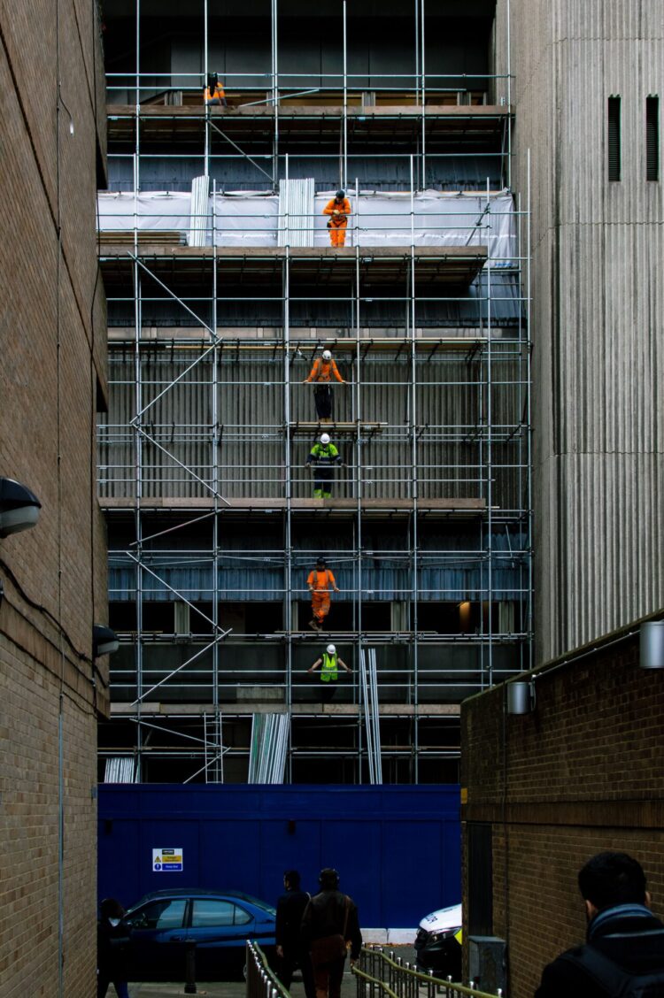
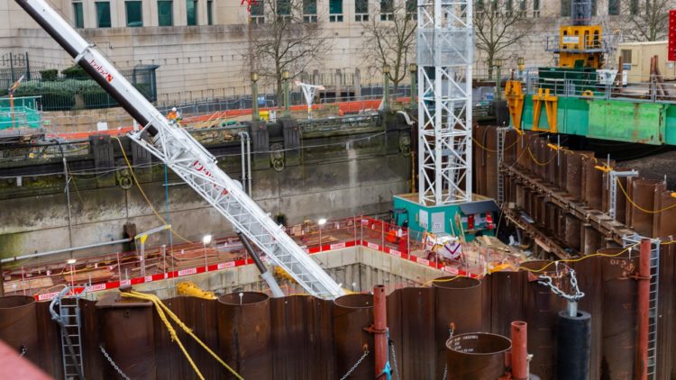
Construction sites are a major source of air pollution in urban areas (indeed construction sites are the leading source of PM10 pollution). That’s why we’ve been working with partners in the construction sector to find ways to reduce air pollution from sites.
For example, our partner Arup has developed a tool that supports construction companies to plan, monitor and manage their emissions from machinery.
To support this effort, we created a tool, called the Air Pollution Risk Index. The index can estimate the risk of experiencing health effects of air pollution in different neighbourhoods. Therefore, it can help councils, Arup, and us at Impact on Urban Heath find areas where a reduction in air pollution from construction sites could have the biggest benefit on people’s health.
Given that air pollution does not affect all residents equally, we focused on identifying factors that could cause or contribute to poorer health outcomes. For example:
We identified areas to prioritise by identifying intersections between these factors, rather than one dimension outweighing the other.
You can browse the index below:
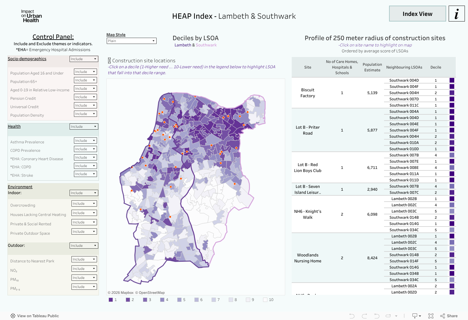
1. The index enables more informed decision-making
The tool shows which areas might have the highest need in terms of the health effects of air pollution. The tool also demonstrates how many schools, care homes or hospitals are in the area, which provides another level of detail that can be considered when making decisions.
2. The index enables a greater degree of transparency
Other factors might feed into the final selection of sites, such as considerations regarding which stakeholders are more likely to be open to change their approaches, or how long planned construction work will take. The tool can help improve clarity and transparency regarding the factors that are shaping decisions. By providing clarity regarding neighbourhood risk, other considerations are contextualised and can be made transparent. A stakeholder may not choose to work in the most at-risk areas, but that would be a conscious decision.
3. The index can support community engagement and co-development of localised strategies
The tool provides information on the ethnicity, sex, and disability status of people living in each neighbourhood, which can inform targeted outreach and engagement strategies within selected areas.
The Air Pollution Risk Index primarily does two things:
1. It estimates the level of need of each small geographic area in Lambeth and Southwark.
The index includes several indicators, organised into four categories:
Users can include or exclude specific factors based on their priorities.
The Index weights categories equally, regardless of the number of indicators in each category. It then produces an overall score and groups all areas into deciles – ranging from highest need (decile 1) to lowest need (decile 10) across all included indicators and categories.
2. The Index provides an overview of the area within a 250-metre radius of each construction site, offering insights into:
To provide deeper insights, an added tooltip feature displays detailed information on the diversity of each area, including data on ethnicity, disability, and sex.
Although the Air Pollution Risk Index was created to support the construction strand of the Health effects of air pollution programme, we believe its approach to bringing together data can be replicated for other areas of work within the programme and more widely.
We are looking forward to learning how its use will help our programme and partner maximise their impact and how we can improve the approach to benefit other strands of work.
Health effects of air pollution
Arup have created an innovative tool, which can help construction companies to plan, monitor, and manage their polluting emissions.
Health effects of air pollution
We’ve been working with the Centre for Low Emission Construction (CLEC) to find ways to reduce air pollution from construction sites.
Health effects of air pollution
With Centre for Low Emission Construction (CLEC)